So, What Exactly is Shingo La?
Shingo La (also spelled Shinku La) is a high mountain pass in the Himalayas, sitting at approximately 16,700 feet (5,091 meters). It lies on the Manali-Leh highway (NH 3), about 100 kilometers north of Keylong and 200 kilometers south of Leh. It is one of the highest passes on this legendary route second only to Tanglang La (17,582 ft).
The name "Shingo La" is believed to mean "pass of the dead" or "pass of the lost" in the local language a reference to the harsh conditions and the travelers who perished here in the past. Today, the pass is safe (if you're careful), but the name serves as a reminder: this is serious country. Respect the mountains. Respect the altitude. Respect the weather.
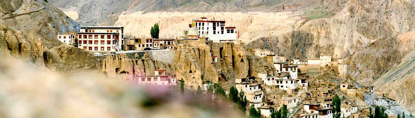
Shingo La marks the boundary between Himachal Pradesh and Ladakh. When you cross this pass, you're leaving the green, forested valleys of Himachal behind and entering the barren, moon-like landscapes of Ladakh. It's also the gateway to the Zanskar region one of the most remote and beautiful areas in the Indian Himalayas. The road from Shingo La leads to Rangdum, Padum, and the heart of Zanskar.
Why Shingo La is a Legendary Pass
Shingo La is not as famous as Khardung La or Chang La. But among those who have crossed it, it holds a special place. Here's why:
- It's the highest point for most travelers on the Manali-Leh route. Tanglang La is higher, but many travelers from Manali feel the altitude most acutely at Shingo La because it's earlier in the journey.
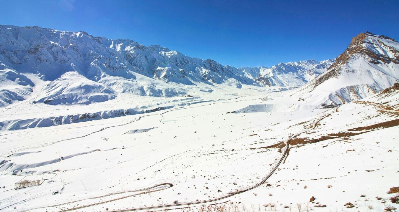
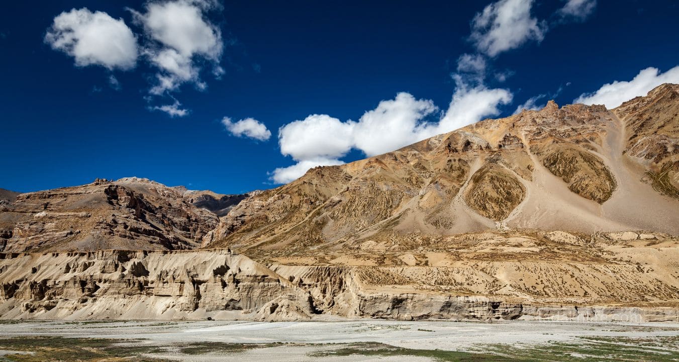
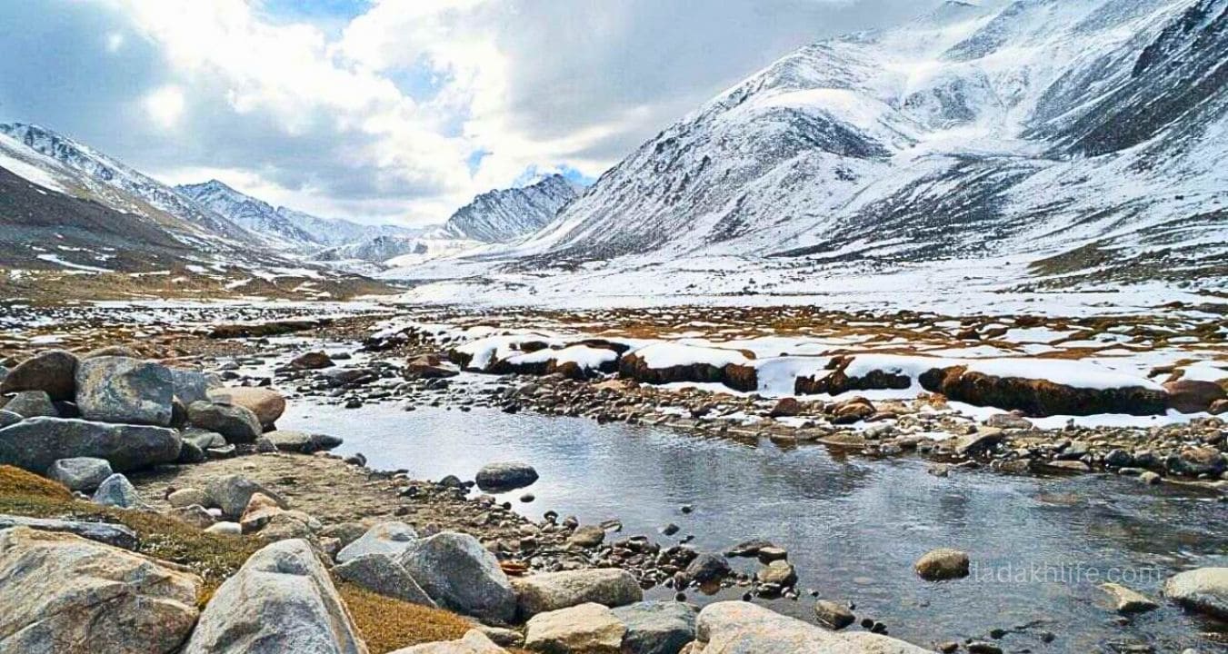
- The landscape is spectacular. The approach from the south passes through the stunning Chandra Valley, with its pine forests, rushing rivers, and dramatic cliffs. The north side opens into the vast, barren expanse of the Zanskar region.
- It's the gateway to Zanskar. After crossing Shingo La, you can turn toward Zanskar one of the most remote and beautiful regions in Ladakh. Many travelers miss this detour. Don't be one of them.
- It's a true high-altitude test. At 16,700 feet, Shingo La will test your acclimatization, your vehicle, and your nerves. Crossing it feels like a real achievement.
- Fewer crowds. While Tanglang La can get busy, Shingo La is quieter. You'll likely have the pass to yourself or share it with just a handful of other travelers.
The Shingo La Experience (The Honest, High-Altitude Version)
Let me walk you through what actually happens when you cross Shingo La. No filters. No fancy language. Just the truth from the road.
- Starting from Keylong (10,000 ft): You've spent the night in Keylong, acclimatizing after the drive from Manali. You're excited but nervous. The climb to Shingo La is long over 6,000 feet of ascent.
- The Chandra Valley approach: The road follows the Chandra River, climbing through pine forests and past small villages. The landscape is stunning green, dramatic, alive. You're still in Himachal.
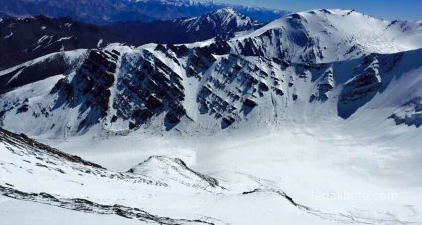
- Above the tree line: The trees disappear. The road gets rougher. The air gets thinner. Your head starts to pound. Your vehicle struggles. You climb and climb, past the last signs of vegetation.
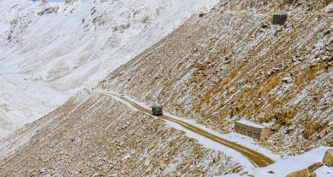
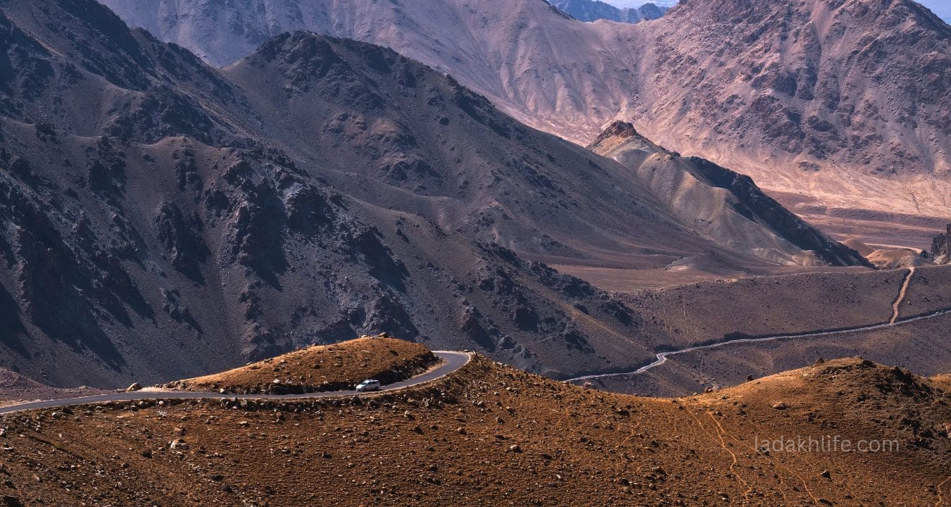
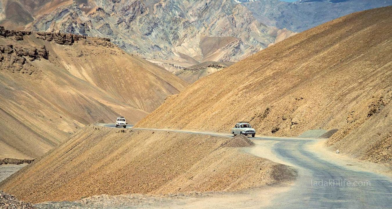
- The last few kilometers: This is where it gets real. The road is rough gravel, rocks, loose dirt. The switchbacks seem endless. You watch your altimeter: 15,000. 16,000. 16,500. Your head is pounding. Every breath is work.
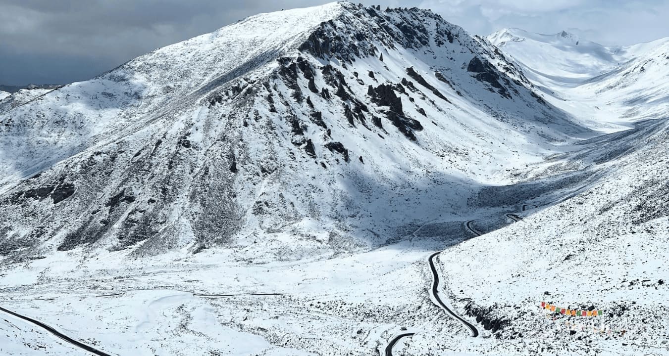
- Reaching the top: You see the prayer flags. You see the small signboard. You park, step out, and the wind hits you. Cold. Constant. Unforgiving. Your legs are weak. Your head is pounding. But you're smiling. You can't stop smiling.
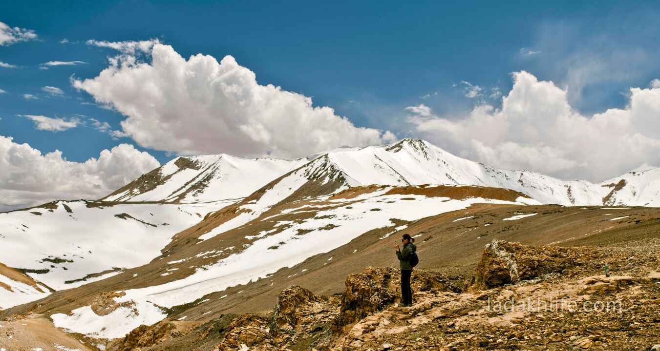
- At the top: You take your photos. You walk to the prayer flags. You look out at the mountains the Zanskar range to the north, the Himalayas to the south. Snow peaks in every direction. And a silence that feels sacred.
- The descent toward Ladakh: You drive down the northern side, and the landscape changes dramatically. The green is gone. The mountains are brown, barren, beautiful. You're in Ladakh now. The descent takes you toward Rangdum and the heart of Zanskar.
That's Shingo La. Not comfortable. Not easy. But an experience you'll carry with you for the rest of your life.
The Crown Jewels of Shingo La (Don't Miss These)
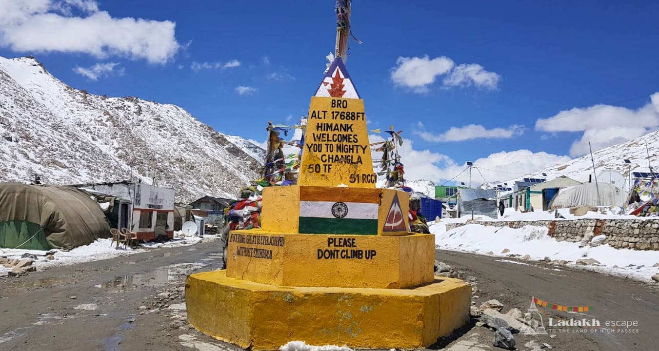
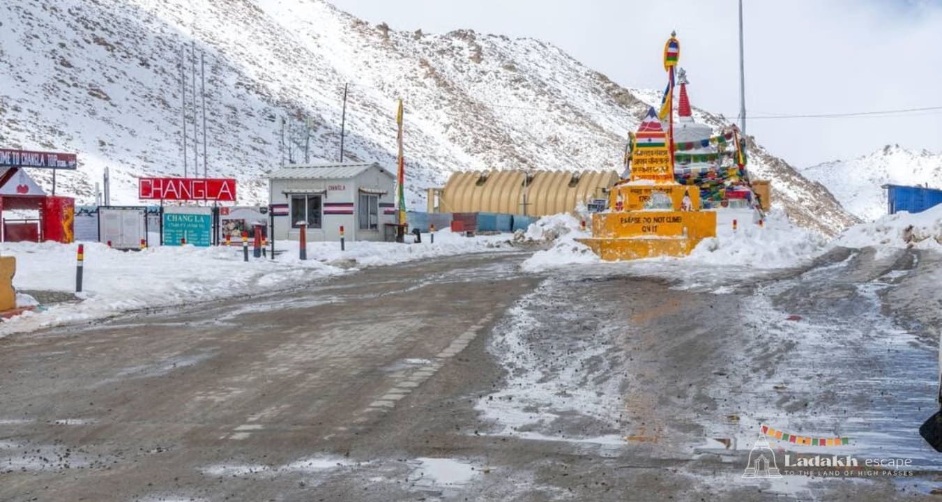
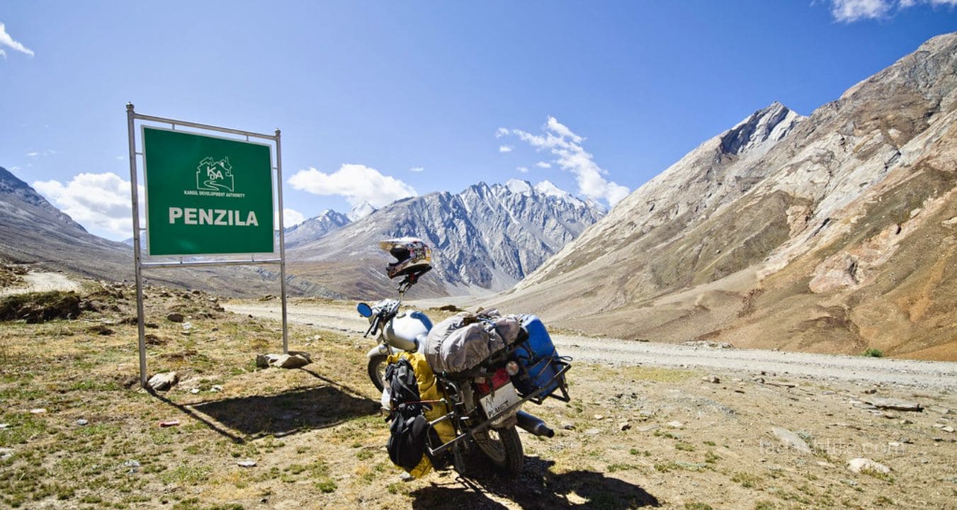
1. The Signboard A Small but Honest Marker
At the top of Shingo La, there's a small signboard announcing the altitude 16,700 feet (or 5,091 meters). It's not fancy. It's not photogenic. But it's honest. Take the photo. You've earned it.
2. Prayer Flags at the Summit
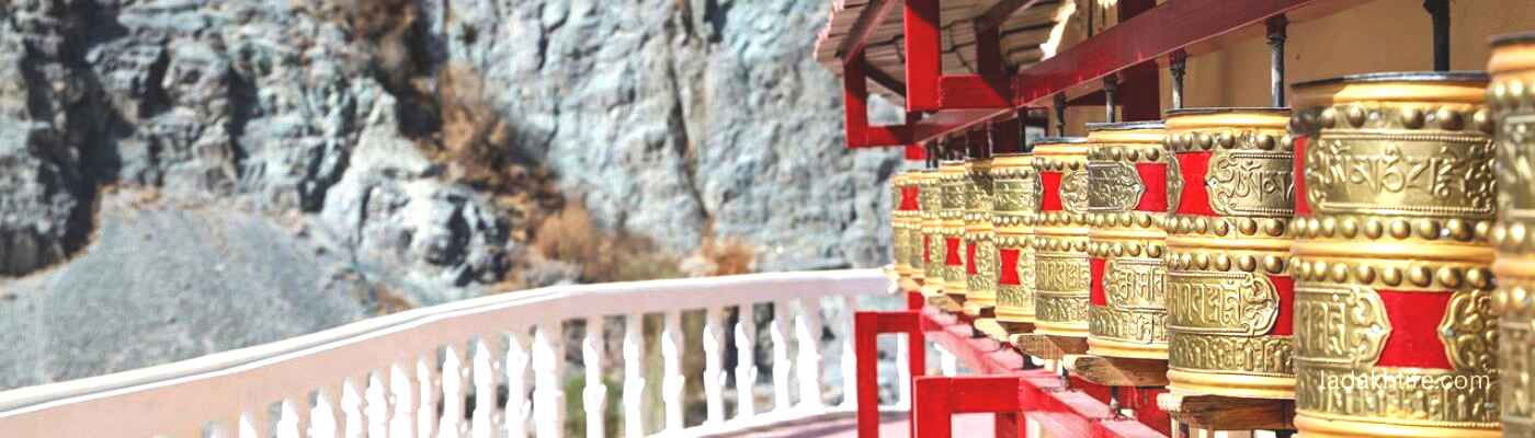
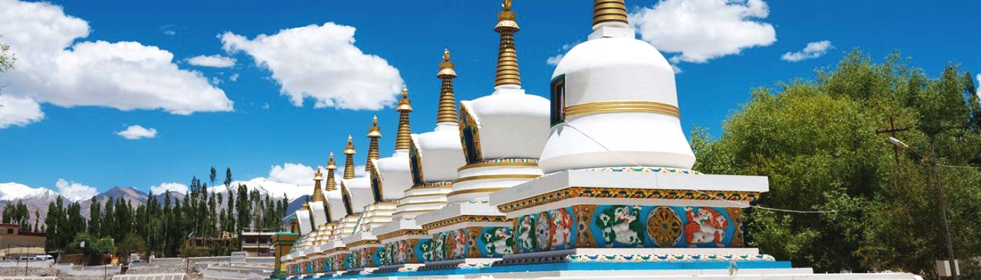
The top of Shingo La is marked by prayer flags bright against the stark, snow-covered landscape. They flutter in the constant wind, their colors faded by the sun and weather. Stand with them for a moment. Listen to the sound they make. It's like nothing else.
3. Views of the Zanskar & Himalayan Ranges
On a clear day, the views from Shingo La are breathtaking. To the north, the Zanskar range stretches toward the Tibetan plateau. To the south, the Himalayas rise in dramatic peaks. You're standing at the intersection of two great mountain ranges. Take a moment. Soak it in.
4. The Chandra Valley Approach A Photographer's Dream
The drive up from Keylong through the Chandra Valley is one of the most beautiful stretches of road in the Himalayas. Pine forests, rushing rivers, dramatic cliffs, and small villages clinging to the mountainsides. Stop often. Take photos. This is the kind of beauty that postcards are made of.
5. The Descent into Zanskar
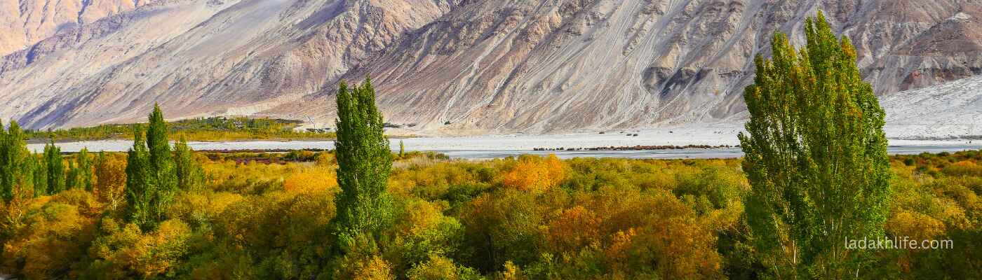
The northern side of Shingo La descends into the Zanskar region one of the most remote and beautiful areas in Ladakh. The road leads to Rangdum, with its stunning monastery, and then on to Padum, the heart of Zanskar. If you have time, take this detour. You won't regret it.
6. The Sense of Achievement
This isn't a "sight" in the traditional sense, but it's the most special thing about Shingo La. Crossing this pass is hard. The altitude is brutal. The road is rough. But when you reach the top, when you stand at 16,700 feet with the wind in your face and the mountains all around you, you'll feel something real. Pride. Awe. Gratitude. It's worth every gasp.
Best Time to Visit Shingo La
Shingo La is on the Manali-Leh highway, which has a very short season. The pass is higher than most and vulnerable to snow.
July to September is the only reliable window. August is the best month the snow has melted, the road is as good as it gets (which isn't very good), and the weather is relatively stable. Daytime temperatures at the top are around -5°C to 5°C, with wind chill making it feel much colder.
June and October: Possible, but risky. June can have snow closures the highway typically opens in mid-June, but Shingo La can be blocked until late June. October is bitterly cold (-10°C at the top), and the pass can close early. Only attempt if you're experienced and have a 4x4.
November to May: Forget it. The pass is buried under snow. The road is closed. Do not attempt.
Pro tip: If you're crossing from Manali to Leh, you'll reach Shingo La on day 2 of the journey. You would have already crossed Rohtang Pass (13,050 ft) and Baralacha La (16,040 ft). Your body has had some time to acclimatize, but Shingo La is higher than both. Take it slow. Drink water. Listen to your body.
Where to Stay Near Shingo La
You cannot stay at Shingo La. There are no hotels or homestays at the pass. The nearest accommodations are in Keylong (south) or in Rangdum / Padum (north).
In Keylong (about 100 km south of Shingo La): Several hotels and guesthouses. Keylong is the largest town in this region and a good place to acclimatize before crossing the pass. Book in advance during peak season.
In Rangdum (about 40-50 km north of Shingo La): Very basic homestays and a small guesthouse near the famous Rangdum Monastery. This is the first accommodation after crossing the pass. Very basic but the location is stunning.
In Padum (about 120 km north of Shingo La): The main town of Zanskar. Several homestays and guesthouses. A good place to stay if you're continuing into Zanskar.
In Sarchu (about 60 km west of Shingo La, on the Leh-Manali highway): Tented camps. Very basic but memorable. This is the standard stop for Manali-Leh travelers who stay on the main highway rather than turning toward Zanskar.
No camping at the pass. It's too high, too cold, and not allowed. The nearest camping is at Sarchu or in designated spots near Keylong.
How to Get to Shingo La
Shingo La is on the Manali-Leh highway (NH 3), but it's also the turn-off for the Zanskar region. Here are the routes:
Route from Manali to Leh (via Shingo La): Manali → Rohtang La → Keylong → Darcha → Shingo La → Sarchu → Upshi → Leh. Shingo La is the high point of day 2 of this journey.
Route from Manali to Zanskar (via Shingo La): Manali → Rohtang La → Keylong → Darcha → Shingo La → Rangdum → Padum (Zanskar). This is the classic route into Zanskar from the south.
From Keylong (100 km, 3-4 hours to the pass): Drive Keylong → Darcha (1 hour) → Shingo La (2-3 hours). The road is good until Darcha, then gets rough. The climb to Shingo La is steep and challenging.
From Leh (200+ km, 6-8 hours): Drive Leh → Upshi → Sarchu → Shingo La. This is the return route if you're coming from Leh. Most travelers break this journey in Sarchu.
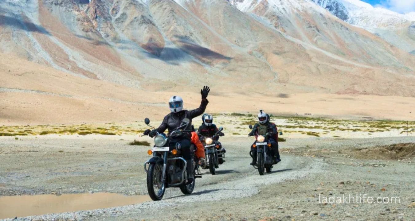
By bike: The classic Manali-Leh or Manali-Zanskar route. Shingo La is a serious test for bikers the altitude, the rough road, and the steep climb. Your bike will struggle above 15,000 feet. Keep the revs high, downshift early, and take breaks. Carry extra fuel there's no petrol station between Keylong and Leh or Padum.
By car (4x4 essential): A 4x4 is not recommended it's essential. The road to Shingo La is unpaved, rough, and has stream crossings. A regular car will bottom out and get stuck. Hire a proper 4x4 (Mahindra Thar, Scorpio, Toyota Innova 4x4, or similar).
By bus: There are no direct buses to Shingo La. Buses run from Manali to Keylong and from Keylong to Leh, but they don't stop at the pass. You need a private vehicle.
By taxi: Hire a 4x4 taxi from Manali, Keylong, or Leh. Expect to pay ₹15,000-25,000 for a 2-3 day trip to Zanskar or Leh.
Altitude, Fitness, and Acclimatization (Read This Twice)
16,700 feet is serious altitude. The air at the top has less than 50% of the oxygen at sea level. Altitude sickness is common, especially if you're coming from Manali.
- Spend at least 2-3 days in Manali (6,500 ft) and a night in Keylong (10,000 ft) before crossing Shingo La. This is non-negotiable. Do not attempt to go from Manali to Shingo La in one day.
- If coming from Leh, spend at least 2-3 days there first. Leh is at 11,500 ft. Your body needs time before going higher.
- Drink 4-5 liters of water the day before and the day of. Hydration is critical at this altitude.
- Limit your time at the top. 15-20 minutes maximum. The longer you stay, the worse you'll feel.
- Descend immediately if you feel severely unwell. Severe headache, vomiting, confusion, loss of coordination go down immediately. Do not wait. Do not be stubborn.
- Carry Diamox and take it before the trip. Consult your doctor.
- Carry portable oxygen canisters. They're available in Manali or Leh. You might not need them. But if you do, you'll be grateful.
- No alcohol for at least 2 days before. No heavy meals. No smoking.
Shingo La is the pass where many Manali-Leh travelers first feel serious altitude sickness. Be prepared. Listen to your body. Don't push yourself beyond your limits.
What to Pack for Shingo La
This is a serious high-altitude crossing. Even in summer, the top is freezing. Here's what you need:
- Warm layers: Thermal innerwear, fleece sweater, down jacket or heavy woolen sweater, windproof outer layer. All of them. The wind at Shingo La is brutal.
- Gloves: Two pairs thin inner gloves and thick winter gloves. Your fingers will go numb without protection.
- Headwear: Woolen beanie plus balaclava. The wind can freeze exposed skin quickly.
- Scarf or buff: For your face. The wind and cold air can be dangerous.
- Shoes: Sturdy insulated boots. There will be snow on the pass, even in summer.
- Sunglasses: High-quality, UV protection. Snow blindness is a real risk.
- Sunscreen & lip balm (SPF 50+): The UV at 16,700 feet is extreme. You will burn in minutes without protection.
- Water & snacks: Carry a thermos with hot tea. Energy bars, nuts, chocolate, dried fruit. Do not rely on finding food at the pass there is no cafe.
- Power bank: Your phone battery will drain fast in the cold. Keep it charged for photos and emergencies.
- Portable oxygen canister: Highly recommended. Available in Manali or Leh.
- First aid kit: Including Diamox, painkillers, bandages, and any personal medications.
- GPS or offline maps: Mobile network is unreliable. Download offline maps before you leave.
Essential Tips for Visiting Shingo La
- No permits needed for Shingo La (if staying on the main highway). However, if you turn toward Zanskar, you'll need an Inner Line Permit (ILP) for Indian nationals or a Protected Area Permit (PAP) for foreign nationals. Arrange these in Manali or Leh before your trip.
- Check road conditions before you go. Ask at your hotel in Keylong or Manali. Shingo La can be closed due to snow even in July.
- Start early from Keylong. Leave by 6 AM at the latest. The climb to Shingo La is long, and weather deteriorates in the afternoon.
- Be prepared for rough roads. The stretch from Darcha to Shingo La is unpaved, rocky, and has stream crossings. Take it slow. Watch for sharp rocks that can puncture tires.
- Fill your fuel tank in Keylong or Manali. There's no petrol station between Keylong and Leh or Padum. Carry extra fuel in jerry cans if possible.
- Watch for wildlife. The area around Shingo La is home to blue sheep (bharal) and Himalayan marmots. You might also spot a golden eagle circling above.
- Don't litter. Carry your waste back to Keylong or Leh. There's no garbage collection at 16,700 feet.
- Be careful with your bike/car. The thin air affects engine performance. Don't push too hard. Take breaks. Check your brakes on the descent.
- Respect the prayer flags. Walk around them clockwise. Don't remove them. Don't step on them.
Shingo La vs Other High Passes in Ladakh & Himachal
- Shingo La vs Tanglang La (17,582 ft): Tanglang La is higher and more famous as the highest point on the Manali-Leh highway. Shingo La is slightly lower but often feels harder because it's earlier in the journey (less acclimatization). Both are unforgettable.
- Shingo La vs Baralacha La (16,040 ft): Baralacha La is lower and comes before Shingo La on the Manali-Leh route. Both are stunning. Baralacha La is famous for its lakes. Shingo La is famous for its dramatic crossing into Zanskar.
- Shingo La vs Khardung La (18,380 ft): Khardung La is higher and more famous. Shingo La is less crowded, more remote, and feels more like a true mountain crossing. Very different experiences.
- Shingo La vs Lachulung La (16,616 ft): Lachulung La is another pass on the Manali-Leh highway, similar altitude. Shingo La is the gateway to Zanskar. Lachulung La is on the main route to Leh.
Why Shingo La is the Pass That Stays With You
Let me be honest. Shingo La is not the highest pass in Ladakh. It's not the most famous. It doesn't have a cafe or a temple or a disputed signboard. But for many travelers, it's the most memorable.
Why? Because Shingo La is where the real adventure begins. If you're coming from Manali, it's the first truly high pass you'll cross after leaving the green valleys of Himachal. If you're heading to Zanskar, it's the gateway to one of the most remote and beautiful regions in India. And if you're on the Manali-Leh highway, it's the moment when you realize the altitude is real, the challenge is real, and you're really doing this.
I've crossed many passes in Ladakh. Khardung La. Chang La. Tanglang La. But Shingo La holds a special place in my memory. Maybe it was the snow at the top in August. Maybe it was the prayer flags against the deep blue sky. Maybe it was the feeling of crossing from Himachal into Ladakh from green to brown, from familiar to foreign. Whatever it was, it stayed with me.
So when you approach Shingo La, don't rush it. Stop at the top. Walk to the prayer flags. Look out at the Zanskar range. Take a deep breath (as deep as you can). And know that you're crossing one of the great passes of the Himalayas. Shingo La is not just a road. It's a memory waiting to happen.
Shingo La is the pass that separates the familiar from the unknown green Himachal from barren Ladakh, the well-traveled road from the wild frontier. Cross it carefully, respectfully, and with wonder. At 16,700 feet, with prayer flags in the wind and snow peaks all around, you'll understand why travelers have been crossing this pass for centuries. It's not just a crossing. It's a transformation.